

Links to the County Donegal Development Plan (CDP) 2024-2030 main document (including the Buncrana, Ballybofey/Stranorlar and Bundoran Area Plans), Land Use Zoning Maps for said Area Plans, and an interactive map viewer for other mapping are provided below. Note: The parts of plan affected by the Draft Ministerial Direction are highlighted in yellow in main document and otherwise indicated in the zoning maps.

County Donegal Development Plan 2024-2030

Plean Forbartha Contae Dhún na nGall 2024-2030
Buncrana Area Plan 2024-2030 Land Use Zoning Map

Ballybofey/Stranorlar Area Plan 2024-2030 Land Use Zoning Map

Bundoran Area Plan 2024-2030 Land Use Zoning Map
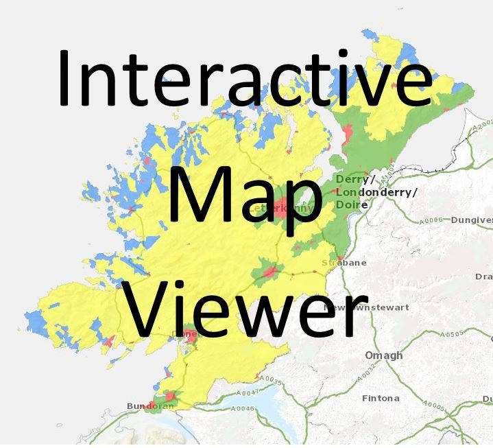
View maps for settlements, clachans, rural area types, wind energy, scenic amenity and public rights of way using this viewer.
Other associated documents and Environmental Assessments.
Rural Housing Location siting and Design Guide
Strategic Flood Risk Assessment
Key Draft Ministerial Direction Documents.
Chief Executive’s Report on Draft Ministerial Direction.
Key documents published during the preparation of the CDP 2024-2030
Draft County Development Plan 2024-2030
Draft Area Plan Maps for Buncrana, Ballybofey/Stranorlar and Bundoran
Chief Executive’s Report on the Draft Development Plan.
Proposed Material Alterations to the Draft CDP 2024-2030
Proposed Material Alterations to the Draft Buncrana, Ballybofey/Stranorlar, Bundoran, Scenic Amenity and Wind Energy Maps.
Chief Executive’s Report on the Proposed Material Alterations